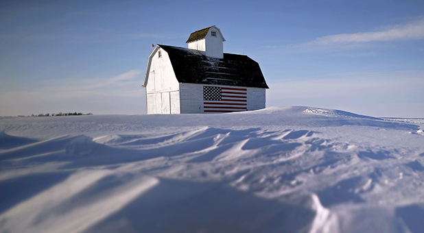
What Factor Will the Weather Be in Iowa?
There’s an old saying about Iowa: “If you don’t like the weather, wait 15 minutes, it will change.”
Unfortunately, as it applies to the first-in-the-nation Iowa Caucuses, the opposite is also true. Here’s how the National Weather Service office in Johnston, Iowa, puts it:
A warming trend will send temperatures climbing into the upper 30s and 40s into the weekend. A few sites may approach 50. A cold front will slide through the state late Saturday night into Sunday. This system will bring a chance for some light precipitation to the state. Light rain mixing with snow will be possible across northern Iowa. A potential winter storm is still on track to impact the state late Monday night mainly after midnight, and continue into Wednesday. Heavy snow will be possible across much of Iowa, with strong gusty winds picking up Tuesday into Wednesday. Travel may become hazardous due to the possibility and combination of heavy snow, gusty winds and blowing snow.
Right now, that means there’s a small window, which coincides with the caucus, during which there won’t be any precipitation, and travel conditions should be good for those wanting to get out. But, it’s a very narrow window; if the system moves into Iowa a few hours earlier than predicted, it could have a big impact on turnout.
So, for now, our projections for Caucus Night remain intact. Monday morning, however, we should have a much better idea about the timing, which will give us a crystal-clear picture of how turnout could be affected in key areas of the state.


